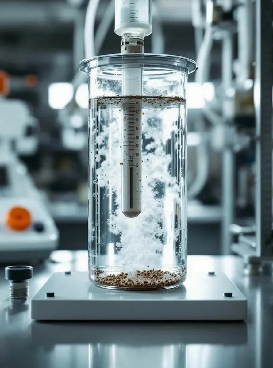
A low-rise residential project on the eastern edge of Ashford, near the M20 corridor, ran into trouble last autumn because the contractor assumed the sandy clay across the site was uniform. After three footing inspections failed, it turned out that lenses of silt and fine sand were migrating water differently across the plot. That delay cost the developer six weeks. Our laboratory ran a full grain size analysis on the samples we pulled from the trial pits, and the combined sieve and hydrometer curve clarified exactly where the problem layers sat. In a town like Ashford, where the geology flips from Weald Clay to Hythe Beds and river terrace gravels within half a mile, relying on visual classification alone is a gamble. The particle size distribution tells you whether your subgrade will drain or hold water, and whether your compaction spec is even achievable with the material on site. We often complement the sieve work with Atterberg limits testing when the fines content exceeds 35%, because the plasticity data is what really predicts volume change behaviour in the Ashford clays.
A combined sieve and hydrometer curve is the only way to confirm whether your fill material meets the grading envelope before the first lorry arrives on site.