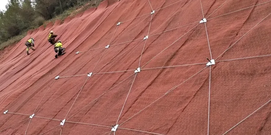
When working near the North Downs scarp or the river terraces of the Great Stour, ground stability demands more than a visual check. Ashford sits on a varied geology—Hythe Formation sandstones, Atherfield Clay, and Weald Clay—and each responds differently to saturated conditions and cut geometries. We run slope stability analysis to BS EN 1997-1:2004 (Eurocode 7) and BS 5930:2015, combining limit equilibrium methods with site-specific groundwater monitoring. For projects on the steep slopes of the Greensand ridge or embankments along the M20 corridor, CBR testing for road subgrades often runs in parallel to confirm formation strength beneath the carriageway.
A slope that stood for fifty years can fail in one winter if the groundwater regime changes—we model that change before the digger arrives.