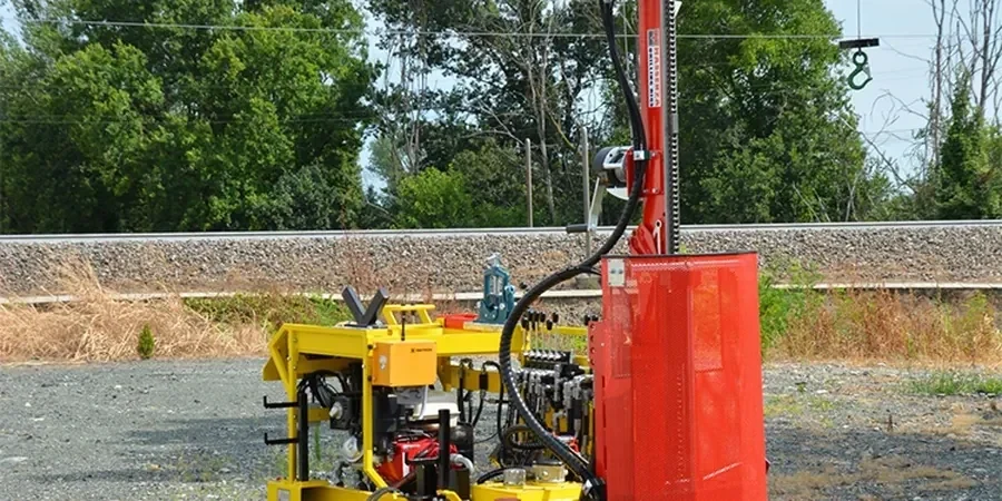
In Ashford, the mix of Weald Clay, Hythe Beds sand, and occasional river terrace gravels means one borehole never tells the full story. Many sites near the M20 corridor we have seen look solid at surface but show loose saturated sands at 4 to 6 metres. That sand layer governs foundation settlement and drainage design. Our SPT (Standard Penetration Test) service is run as part of a wider ground investigation, with tracked rigs that can access tight plots behind the town centre redevelopment areas. The test follows BS 5930:2015, recording N-values every 1.5 metres or at stratum change. For sites near the Great Stour floodplain, combining SPT data with in-situ permeability tests helps us quantify groundwater flow before excavation starts.
An SPT N-value below 10 in Ashford's river terrace sands changes the foundation solution from a pad to piled—ignoring it costs weeks of redesign later.