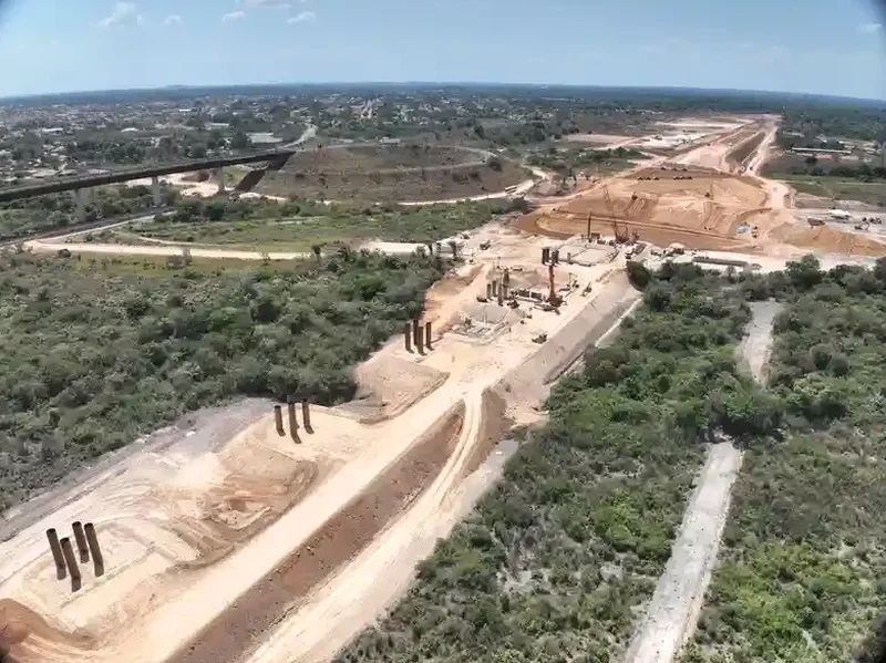
The ground beneath Ashford tells two very different stories depending on where you stand. Over in the town centre and around the Stour valley, you are dealing with soft alluvial silts that can amplify seismic motion in ways the average property owner never considers. Cross over to the southern fringes near Kingsnorth or the developments climbing onto the Weald Clay, and suddenly the stiffness profile shifts — but not always predictably, because desiccated clay crust can mask softer material just a couple of metres down. We have run MASW lines across both settings, and the VS30 contrast between the floodplain gravels and the weathered clay slopes routinely exceeds 100 m/s. For engineers working under Eurocode 8 and BS EN 1998-1, that difference is the line between site class C and class D — and between a standard foundation design and one that requires explicit seismic checks. The seismic refraction method sometimes gets pulled into these comparisons too, particularly where bedrock depth is the primary question rather than stiffness layering.
In Ashford, the VS30 contrast between Stour alluvium and Weald Clay slopes often exceeds 100 m/s — enough to shift a site from class C to class D under Eurocode 8.